-
Hiking Monte Legnone -
Hiking Monte Legnone -
Hiking Monte Legnone -

Hiking Monte Legnone -
Hiking Monte Legnone -
Hiking Monte Legnone -
Hiking Monte Legnone -
Hiking Monte Legnone -
Hiking Monte Legnone -
Hiking Monte Legnone -
Hiking Monte Legnone -
Hiking Monte Legnone -

Hiking Monte Legnone -
Hiking Monte Legnone -
Hiking Monte Legnone -
Hiking Monte Legnone -
Hiking Monte Legnone -
Hiking Monte Legnone
Hiking Monte Legnone Lecco Like
Most Popular Route
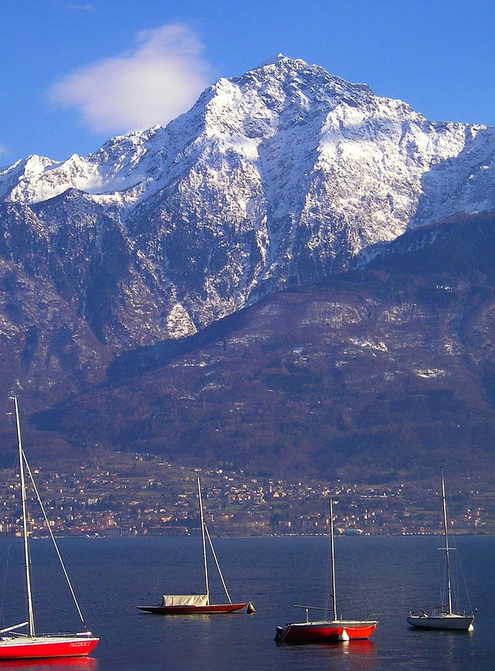
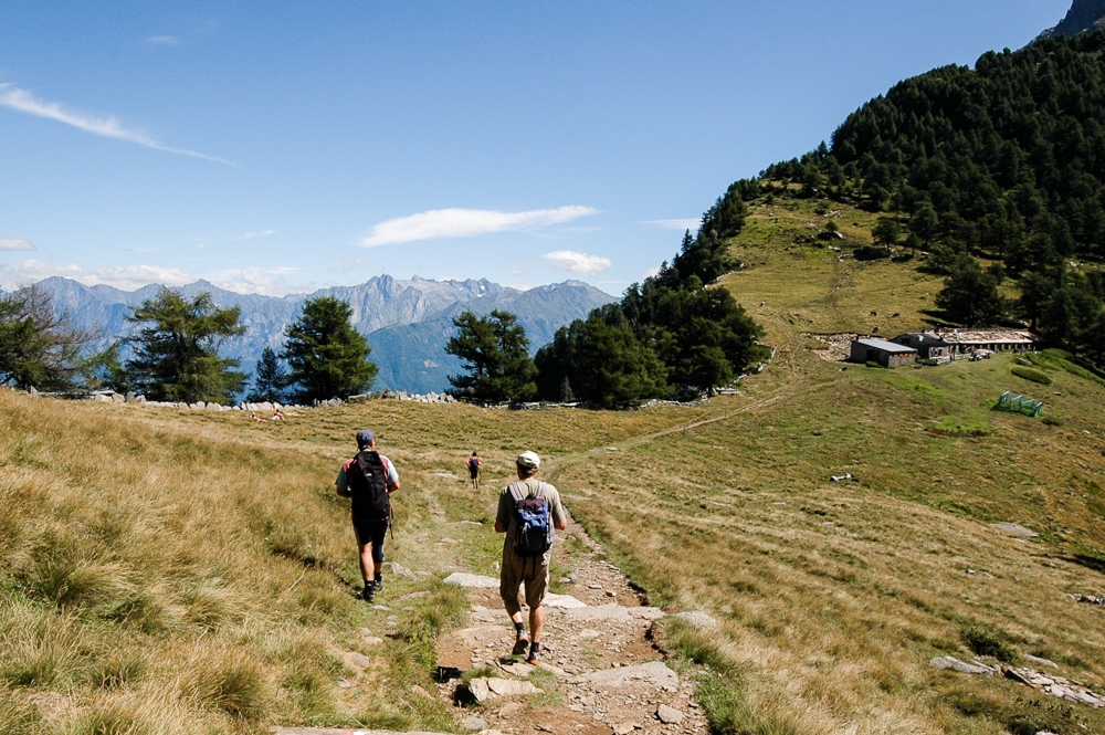
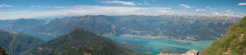
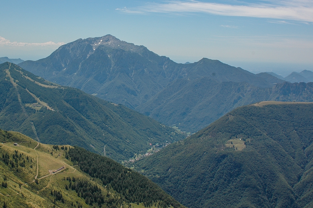
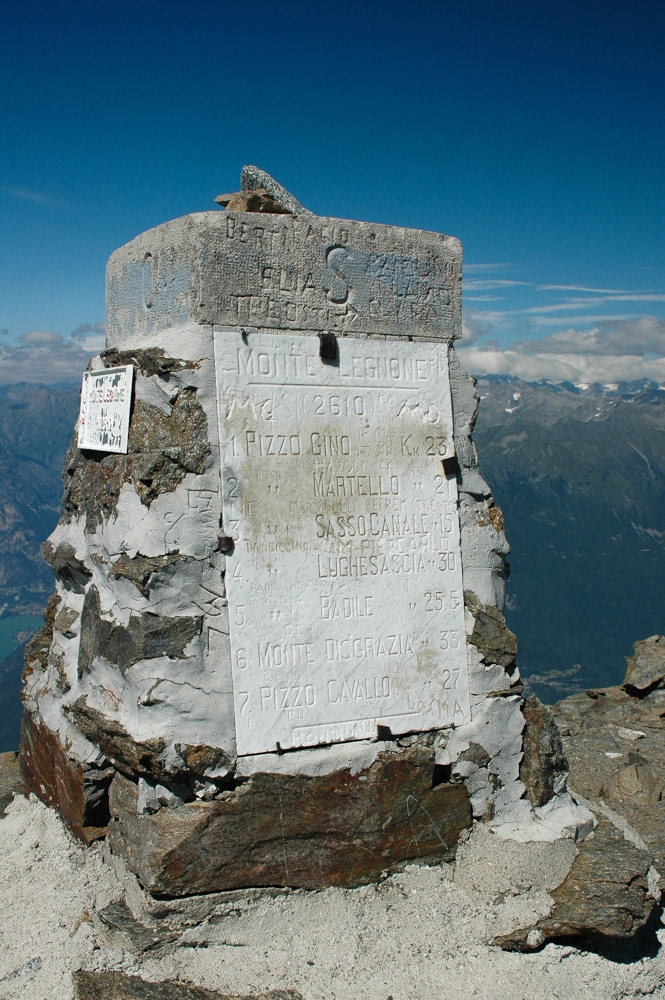
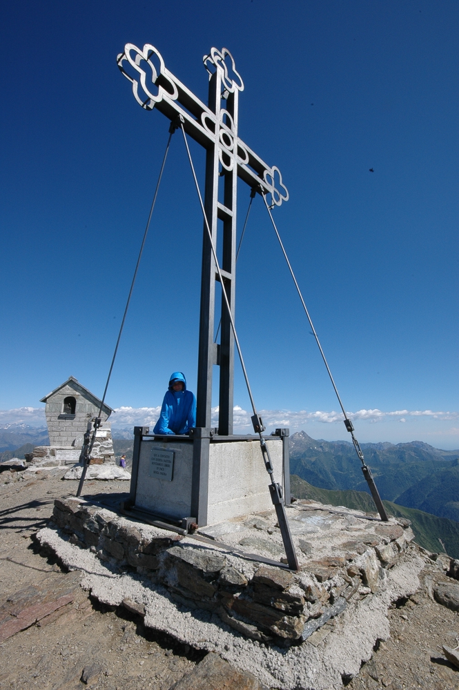
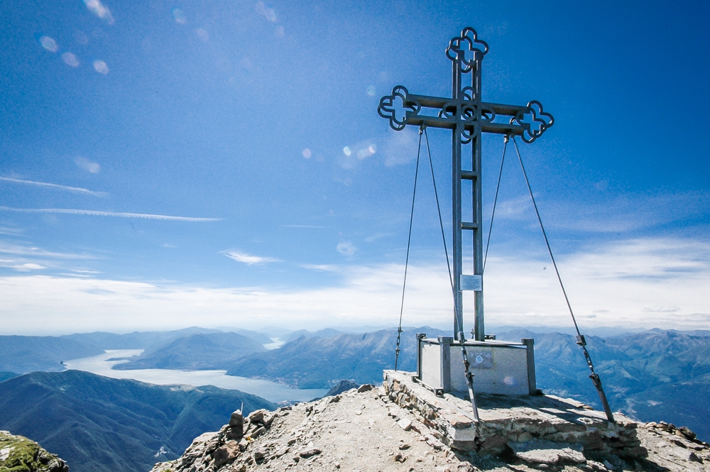
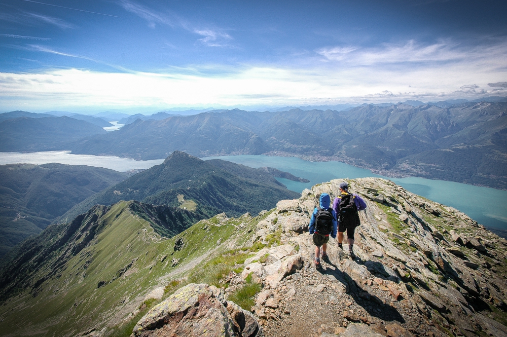
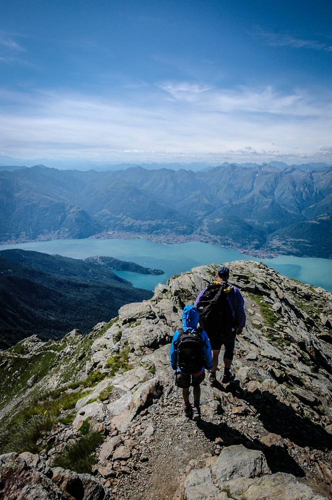
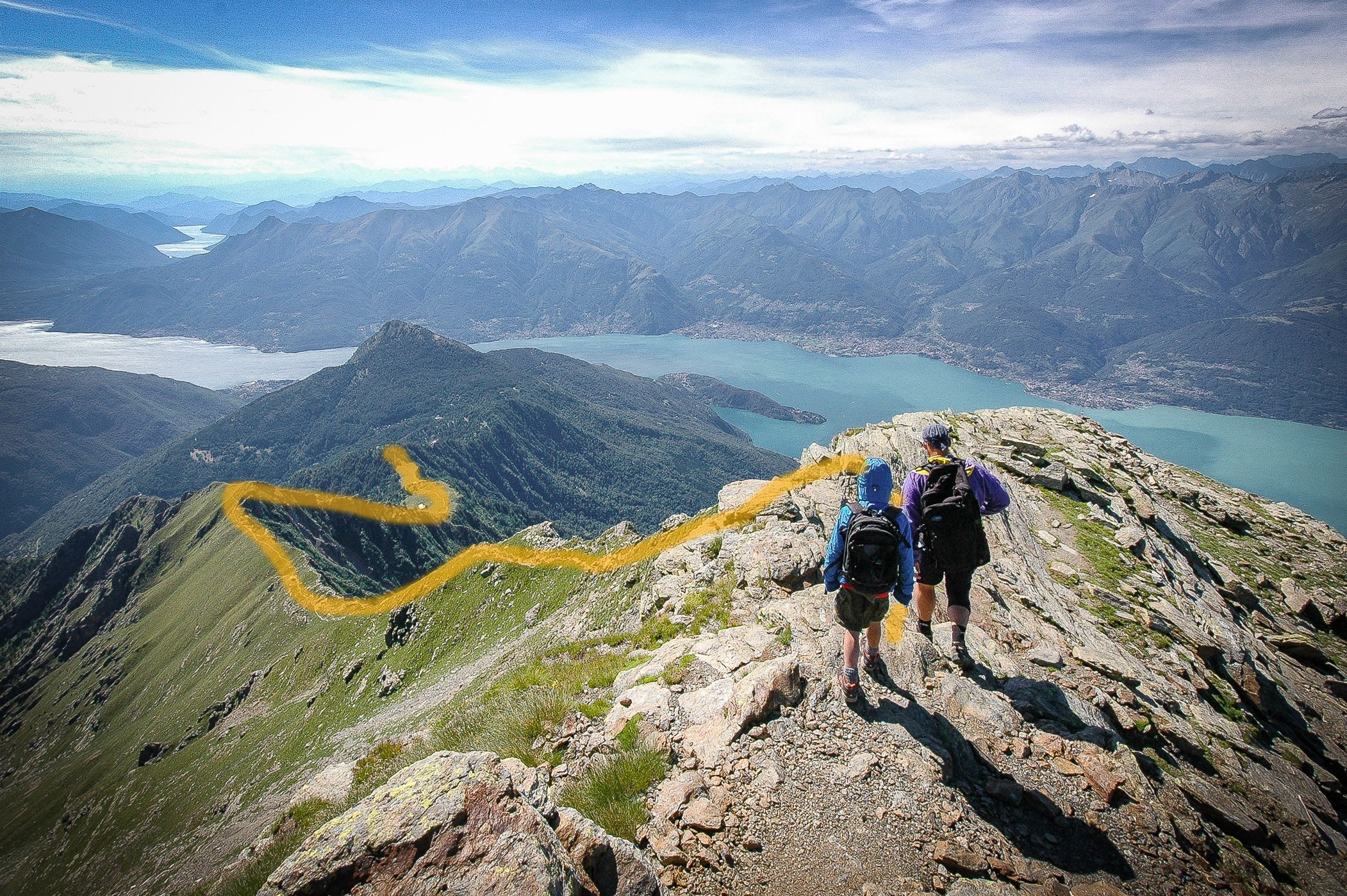
The most popular way to reach the summit of Monte Legnone from Lake Como is to begin hiking at the Rifugio Roccoli Lorla (m1460) which can be reached by car from the town of Tremenico (near Dervio). There you will see signs for the rifugio. The road is narrow but paved almost to the end. A short hike from the parking area will get you to the rifugio. From there is only one way up.
Level of Difficulty
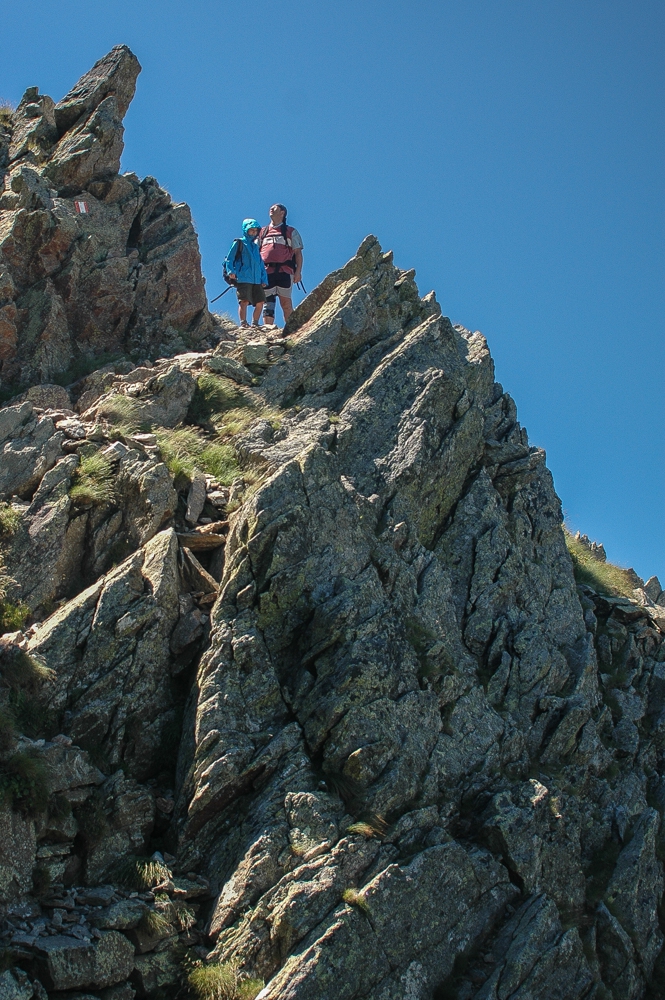
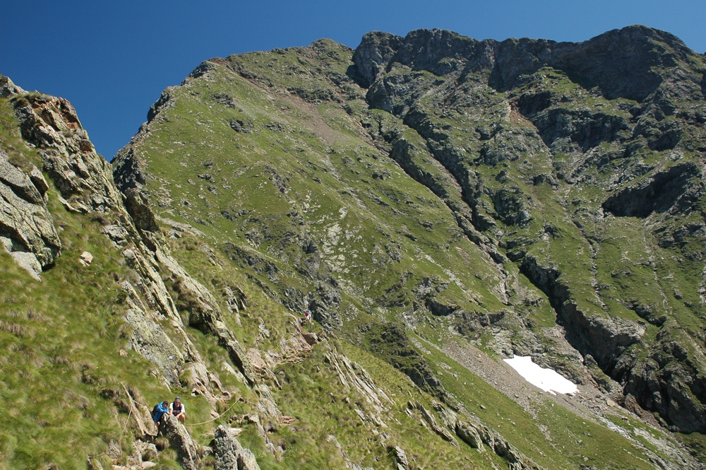
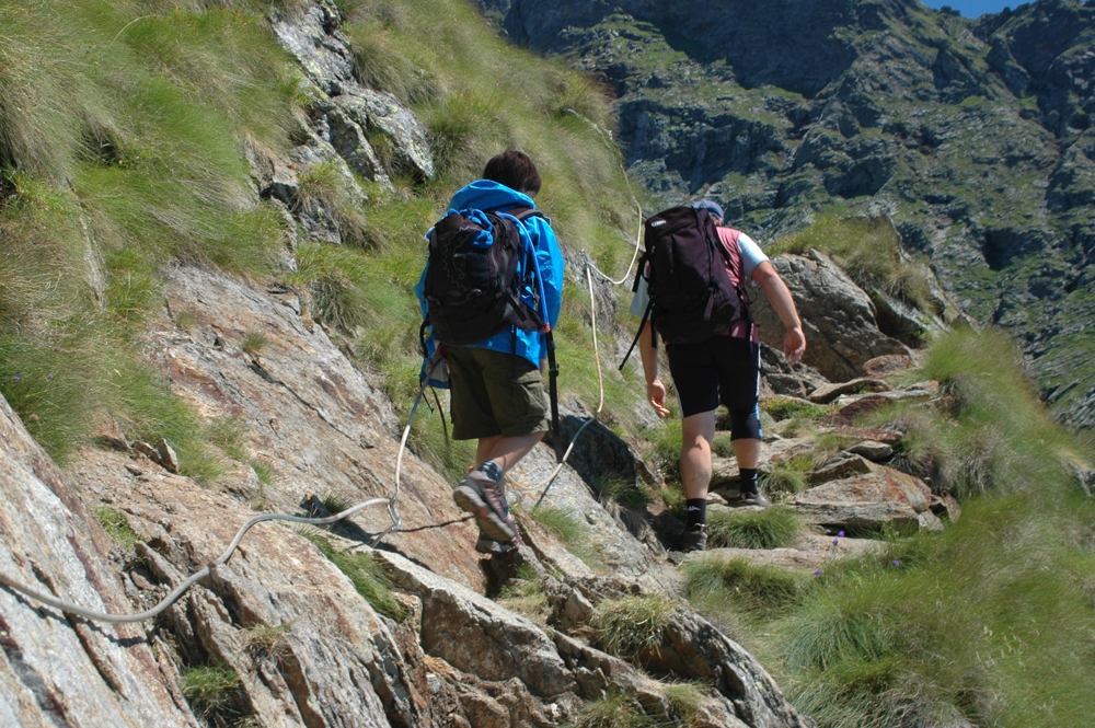
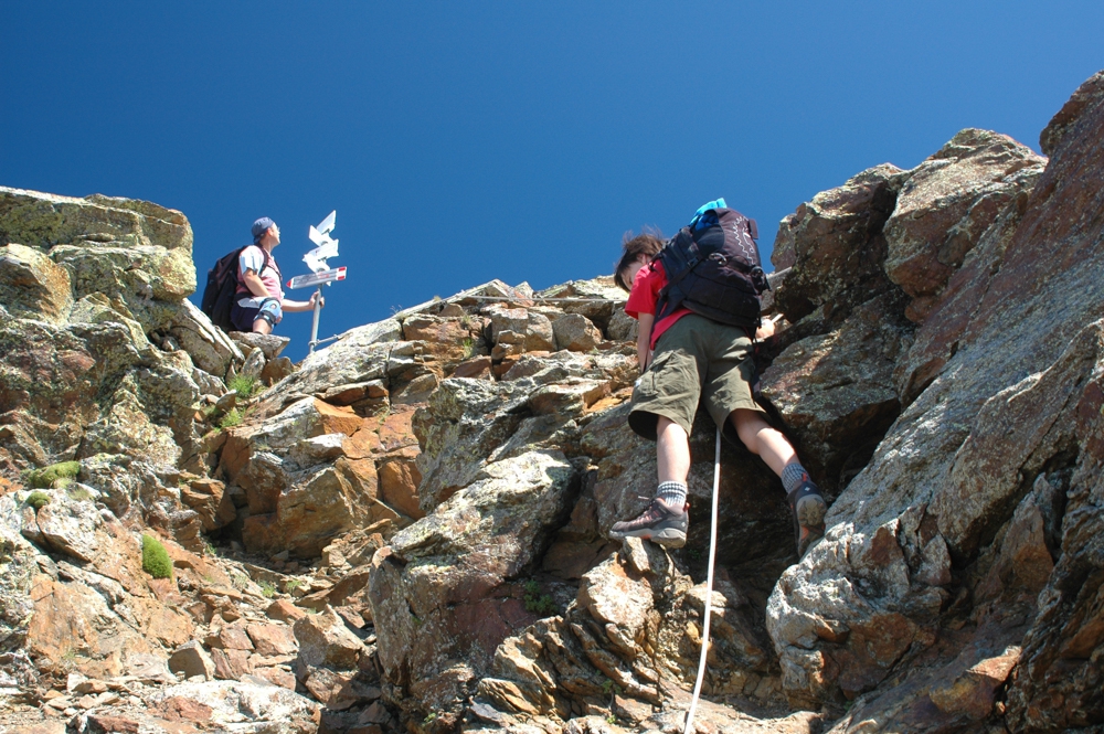
This Route has a level of difficulty between EE and EEA which means it is for skilled hikers. The EEA rating, as defined by the Club Alpino Italiano (CAI), is given because there are exposed sections, particularly on the final ascent, that require some scrambling up rocks and the use cables that are permanently fixed in the mountain to assist you. Here is an unofficial explanation of the difficulty rating system in Italy. There are other routes to the summit.
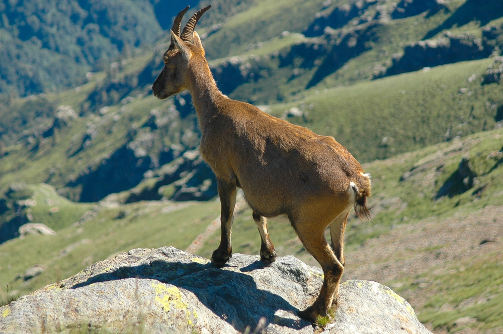
Wildlife
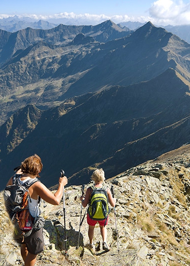
You will likely encounter deer, goats, or chamois.
Safety
There is no water on this hike, so bring your own. Winds can be very strong so use caution. Winter climbing is for experts only.
More to Explore.
Explore 42 other Hikes and Walks
Stroll through a manicured garden or hike atop a snow covered mountain.