-
Mount Garzirola -
Mount Garzirola -
Mount Garzirola -
Mount Garzirola -
Mount Garzirola -

Mount Garzirola -
Mount Garzirola -
Mount Garzirola -
Mount Garzirola -
Mount Garzirola -
Mount Garzirola -
Mount Garzirola
Mount Garzirola Val Rezzo Like
Monte Garzirola: How to Get There
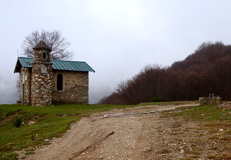
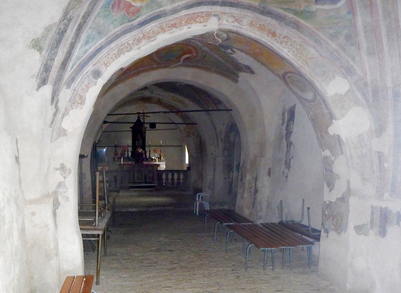
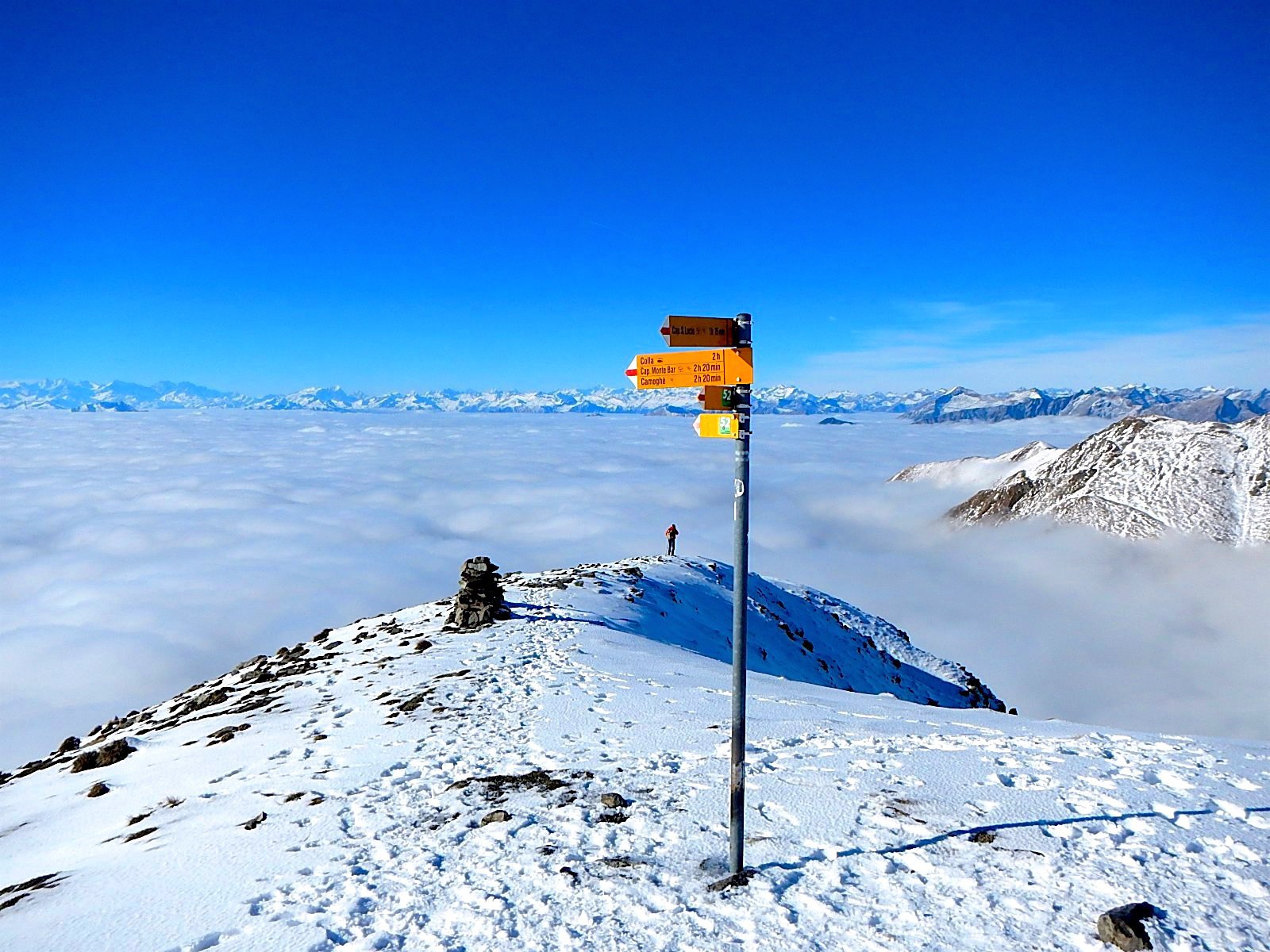
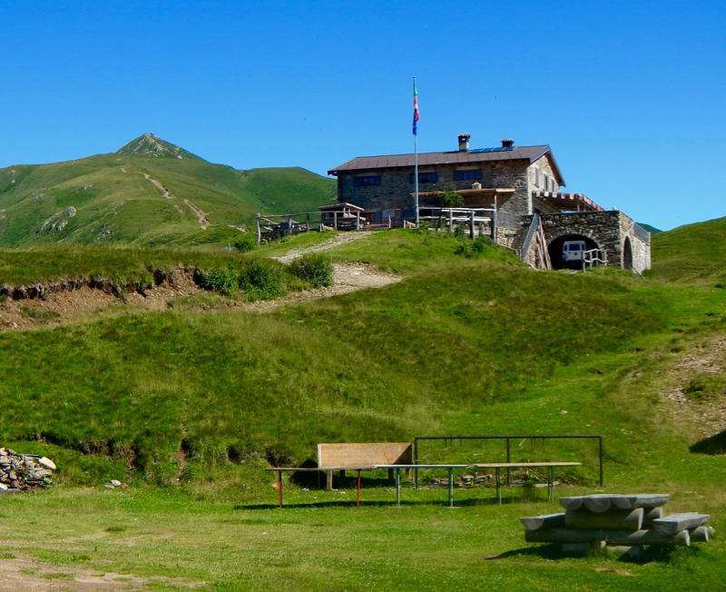
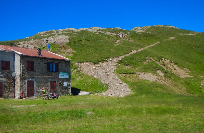
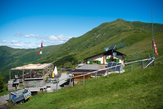
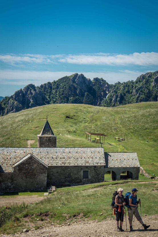
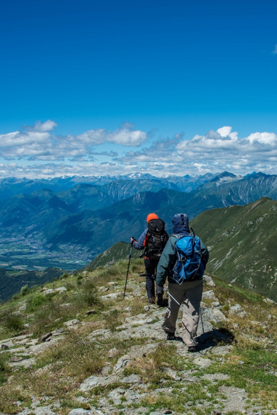
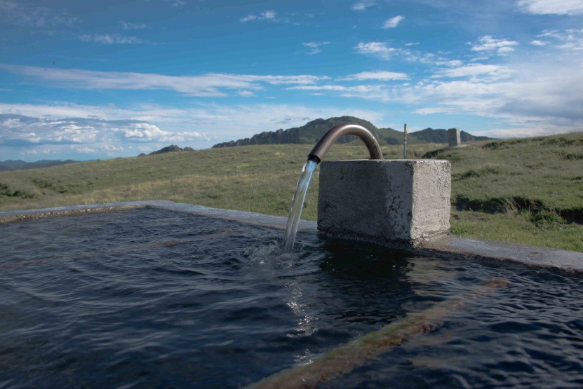
From Porlezza take the road to Val Rezzo, after about 10 km when the road splits keep the right towards Val Cavargna. The road will continue to climb. After four hairpin turns the road will level out and you’ll find a parking near a fountain. Take the gravel road by foot which is clearly marked; after half an hour you’ll arrive at the small church of CEP there is a fresh water fountain. Continuing on the same trail, after 45 minutes, you’ll see the church of San Lucio on the Swiss-Italian border, here are located two refuges: Capanna San Lucio on Swiss territory and Rifugio San Lucio in Italian territory both at 1550 meters altitude, where you can stop to rest, to eat and to sleep. From here you’ll see a peak with a cross. This is not mount Garzirola but you’ll need to either reach the this peak with the cross, or pass directly under it, to reach mount Garzirola. From San Lucio you can either continue on the gravel road, or take the small path both which lead to Rifugio Garzirola. From this rifugio you can reach the cross in 10 minutes or proceed directly to mount Garzirola (about 30 minutes) where there is a sign with the name Gazzirola 2112 metres.
Hiking Information
| Start From: | Dasio di Buggiolo |
|---|---|
| Start Elevation: | 1106m. |
| End Elevation: | 2112 m. |
| Elevation Gain: | 1006m. |
| Rest Stop: | Rifugio San Lucio (I) 1560 m. Capanna San Lucio (CH) 1541 m. Rifugio Garzirola (I) 1974 m. |
| Ascent Time: | 3 hrs. |
| Total Time: | 5.30 hrs. |
| Difficulty: | E - F |
| Trail Signs: | n. 3 |
More to Explore.
Explore 42 other Hikes and Walks
Stroll through a manicured garden or hike atop a snow covered mountain.